GEOG Team Studying New NASA Satellite Mission Targeting Climate Change
The University of Maryland's Department of Geographical Sciences (GEOG) is at the forefront of a nine-month concept study, funded by NASA, to explore the potential of a new satellite mission set to launch in 2030 or 2032.
The mission, the Earth Dynamics Geodetic Explorer (EDGE), aims to revolutionize our understanding of changes in Earth's terrestrial ecosystems, ice, and glaciers to help better understand how our planet is responding to climate change.
EDGE is one of four concept studies, recently announced by NASA, that are each receiving $5 million to advance our knowledge of Earth's greenhouse gases, ozone layer, ocean currents, terrestrial ecosystems, and ice and glacier changes. Upon the study's completion, NASA will select two missions to receive $310 million in funding for a planned launch in 2030 or 2032.
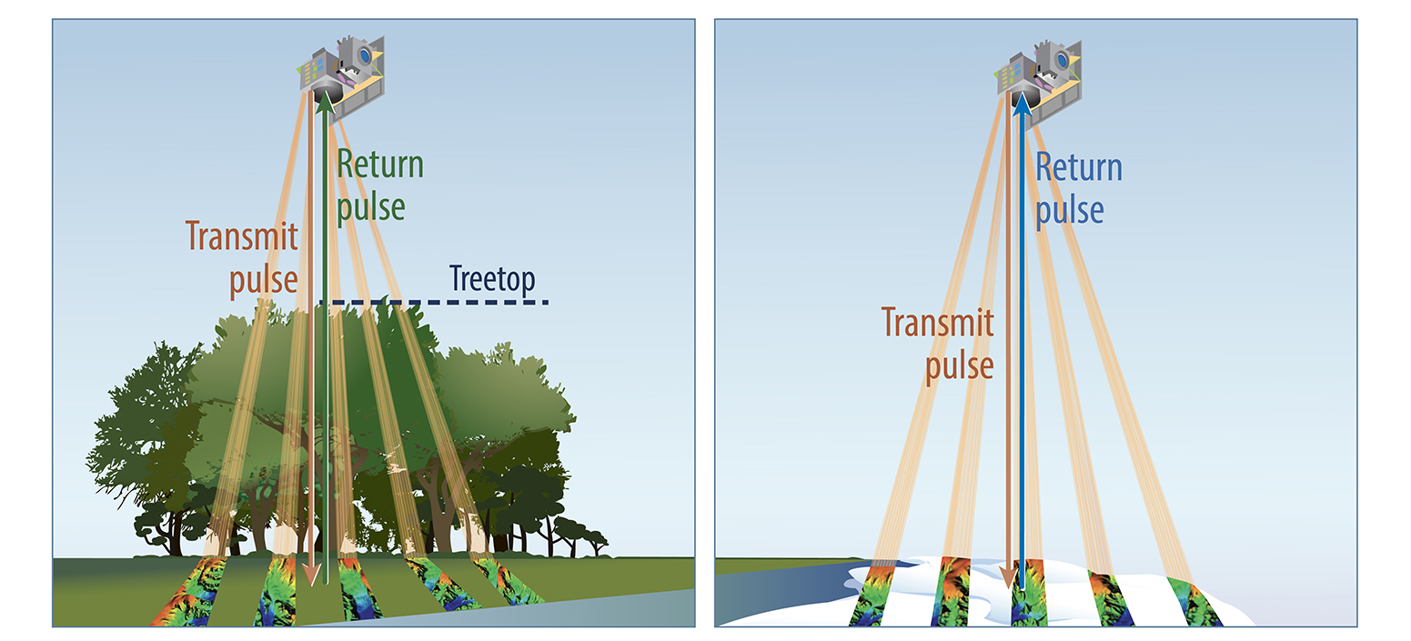
EDGE uses a technology called laser altimetry that sends laser pulses to the Earth’s surface and records the time it takes them to return to the spacecraft. EDGE will fly on Maxar’s 500 spacecraft and use a high density of laser beams (five 120-meter-wide strips per pulse) to map the planet. This will provide a detailed view of Earth's surface dynamics over a larger area—including the North and South Poles—offering global coverage of vegetation and dense mapping around ice sheets.

Associate Research Professor John Armston is the deputy principal investigator of the EDGE mission and lead of EDGE’s terrestrial ecosystem structure science team.
"EDGE brings together the cryosphere and terrestrial ecosystem science communities for the first time to develop an instrument that will monitor the 3D structure of shifting ecosystems and melting ice, helping us understand and mitigate the effects of climate change," Armston explained. “EDGE’s unique imaging capability provides an unprecedented 3D view of Earth's vegetation and topography, enabling us to track changes in carbon storage, habitat and biodiversity.”
Helen Amanda Fricker, a professor and glaciologist at UC San Diego’s Scripps Institution of Oceanography, is the principal investigator for EDGE and lead of the ice elevation science team. Fricker emphasizes that data from EDGE will transform our understanding of how Earth's carbon and ice stores are changing.
"Satellites lay down their tracks like wrapping yarn around a ball, with the highest concentration at the top and bottom," explained Fricker. "EDGE’s orbit choice places this concentration in our most critical regions for studying the effects of climate change at the poles. The agility of the Maxar spacecraft allows EDGE to target high-priority regions."
Insights from EDGE will complement data from previous missions, including the Global Ecosystem Dynamics Investigation (GEDI) and the Ice, Cloud, and Land Elevation Satellite 2 (ICESat-2). ICESat-2 uses lidar technology to determine the 3D structure of ice sheets, glaciers, and sea ice, while GEDI provides highly accurate measurements of Earth’s forest canopy and structure. GEDI was recently reinstalled on the International Space Station after the completion of its first mission.

“EDGE will cover much more of the Earth at a higher resolution and with higher accuracy than was possible with GEDI,” said Armston.
GEDI’s leadership in satellite vegetation lidar continues with EDGE. Bryan Blair, a lidar instrument scientist at NASA Goddard Space Flight Center and a GEDI deputy principal investigator, is acting as an EDGE deputy principal investigator alongside Armston, who is also on the GEDI mission team.
GEOG Distinguished University Professor Ralph Dubayah, the principal investigator on GEDI, is on the EDGE science team with fellow GEDI mission team members Laura Duncanson, George Hurtt and Michelle Hofton.
“We have worked for over 30 years to develop a lidar capable of imaging large swaths of the Earth’s surface and the EDGE mission realizes that dream. While the GEDI mission was crucial towards developing the technology that EDGE is based on, EDGE pushes spaceborne lidar to an entirely different level,” said Dubayah. “EDGE opens new avenues of inquiry on how the biosphere and cryosphere, and their interactions, respond to global change. By any measure EDGE is a great leap forward and one that will be immensely valuable as we address the pressing environmental concerns looming in the next decade”.
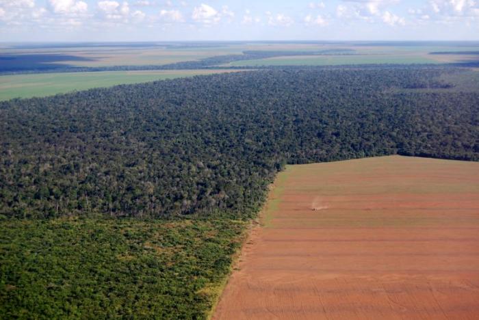
Main photo of Amazon deforestation in Brazil is by iStock
Published on Tue, May 21, 2024 - 9:44AM


