


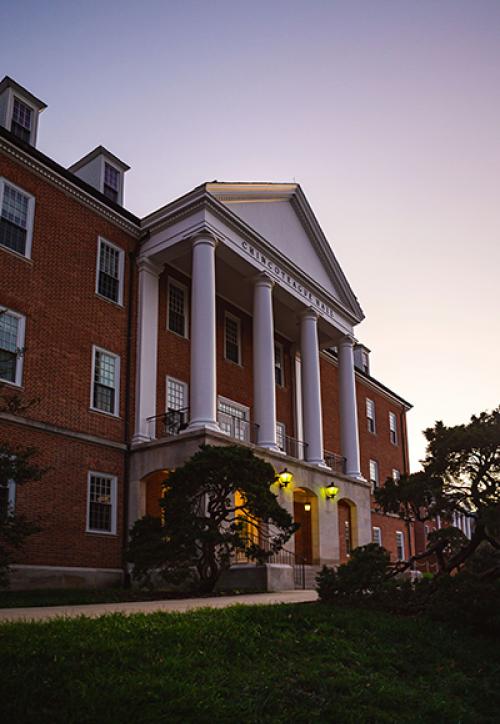
Taylor Oshan Becomes Director of the Center for Geospatial Information Science
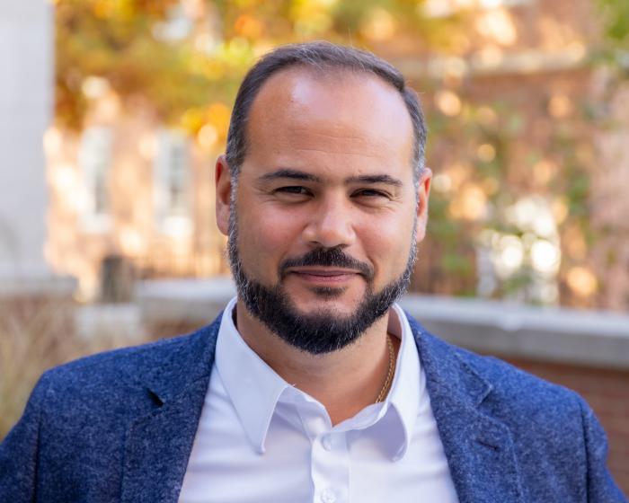
The associate professor is looking forward to growing the center at an exciting time for the field.
Taylor Oshan, an associate professor in the Department of Geographical Sciences (GEOG), started a new role as the director of the Center for Geospatial Information Science (CGIS) during the fall 2026 semester.
Oshan was especially motivated to become CGIS director given recent advancements in technology and artificial intelligence.
“There are so many transformative technologies converging at the moment, including generative AI, foundation models, and autonomous agents — both virtual and physical — and there is a dual importance of geospatial information here. For one, all of the computations that fuel them are taking place somewhere, and second, information about where things are and the status of the environment are important to these systems,” said Oshan. “At every turn, location or geospatial information is an important part of the equation. When you layer this onto the existing corpus of geospatial technology and concerns — sensor networks, analytics, visualization, uncertainty, trust, bias — it opens up a universe of new problems, research questions, and application areas that the CGIS is uniquely positioned to contribute to and lead.”
Oshan joined GEOG in the fall of 2018, after earning his Ph.D. from the Department of Geographical Sciences and Urban Planning at Arizona State University. Since then, his research has followed two paths, which both lend themselves well to him being the next leader of the CGIS.
Oshan’s first research focus concerns spatial analysis, which uses measures of clustering, proximity, and separation, to understand how activities are distributed across the Earth’s surface, and the types of processes and relationships might generate these patterns.
“It’s one of the core traditions in the discipline, providing a strong conceptual foundation for studying a wide array of phenomena across the physical and social sciences,” he explained.
His second research focus concerns the development of geospatial analysis tools and data systems, which can be customized to meet varying levels of need and different types of audiences. These tools can help provide information that is critical to a variety of efforts in the academic, public, and private sectors, including applications concerning public health, crime, transportation, and more.
Oshan has two main goals for the center under his leadership.
“One goal is to continue being a gathering place for geospatially minded individuals that are interested in cutting edge technology and applications. This includes organizing local networking events and social events, which are more important than ever as so many forms of interaction are offloaded to the digital realm,” he said. “Another goal is to translate new research and technological trends, such as AI, high resolution sensors, and spatial decision-making, into education offerings in order to prepare the next generation of researchers and practitioners.”
Oshan and the CGIS team are currently working on building a network of advisors and collaborators within the industrial and public sector.
“Bridges between the CGIS and these sectors are mutually beneficial, and we are uniquely located to foster these opportunities,” he said. “Spatial thinking and spatial reasoning are central to so many everyday tasks and important decisions at every organizational level, and the CGIS pushes the boundaries of technological research and training necessary for the next evolution of spatial reasoning by the next generation of spatial thinkers.”
Oshan encourages anyone interested in collaborating on research, looking for training opportunities, seeking out technical expertise to reach out by emailing toshan@umd.edu.
"Associate Professor Oshan is an excellent choice for the new CGIS Director. He brings a deep level of experience and expertise in the field of geospatial information science, and his research expertise will bring new opportunities and fresh directions for the Center, ” said GEOG Professor Kathleen Stewart, former director of the CGIS. “Geospatial information is core to everything we do on a daily basis and with Dr. Oshan leading the Center, I am sure we will see many new exciting initiatives on campus involving geospatial information science."
Learn More about the Center for Geospatial Information Science
Read a Profile of Taylor Oshan on the GEOG Website
Photo by Andy Evans
Published on Wed, Nov 4, 2026 - 2:06PM